November 27, 2024
This story was originally published by St. Stephens Indian Mission Foundation in VOL. XXXVI JUL/AUG/SEPT 2006 NO. 3. St. Stephens Indian Mission Foundation owns the copyright, and the story is reprinted here with permission from the Foundation. More information on the Foundation can be found following the story or by clicking on the link above.
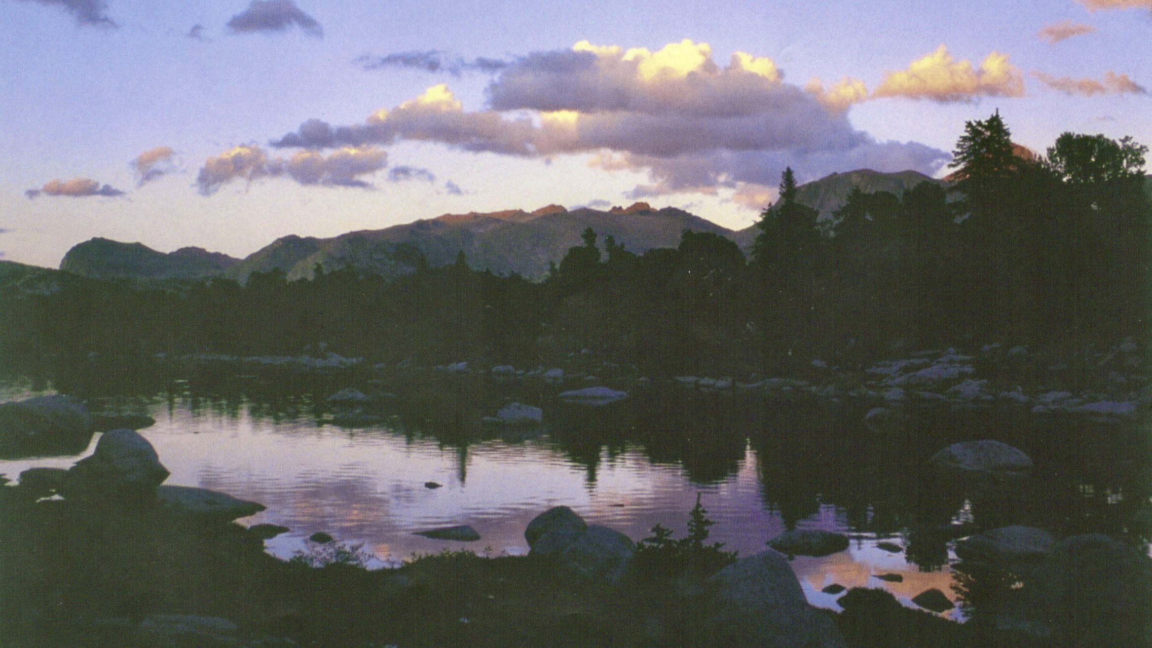
The Shoshone National Forest was named after the Shoshone Indians, one of the tribes that frequented this region. Shoshone National Forest became the nation’s first federally protected forest by an act of Congress and signed into law by President Benjamin Harrison in 1891.
This vast area (2.4 million acres) is nearly impossible to visualize. The altitude ranges from 4,600 feet to 13,804 feet. It includes three mountain ranges: the Beartooth, Absaroka and the Wind River. These three ranges geologically are distinctly different from one another.
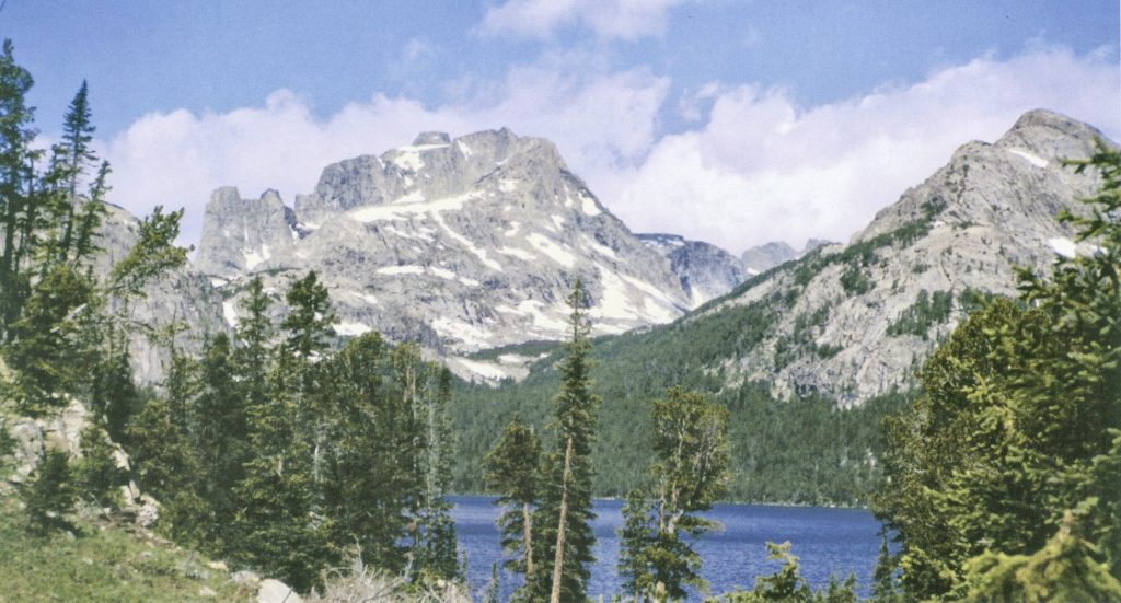
In 1964, the Wilderness Act was introduced and since then there have been four wilderness areas established within the boundaries of the Shoshone National Forest. These include the North Absaroka (1964), Washakie (1972), – which is the largest – Fitzpatrick (1976) and Popo Agie (1984). Combined, these wilderness areas comprise 1.5 million acres.
There is archeological evidence that people have visited this vast area for at least 8,000 years. As remote and isolated as parts of this forest seem to be, signs of these earliest visitors can still be found. In many locations, stone chippings cover the ground where ancient hunters sat and worked while watching the surrounding area for game.
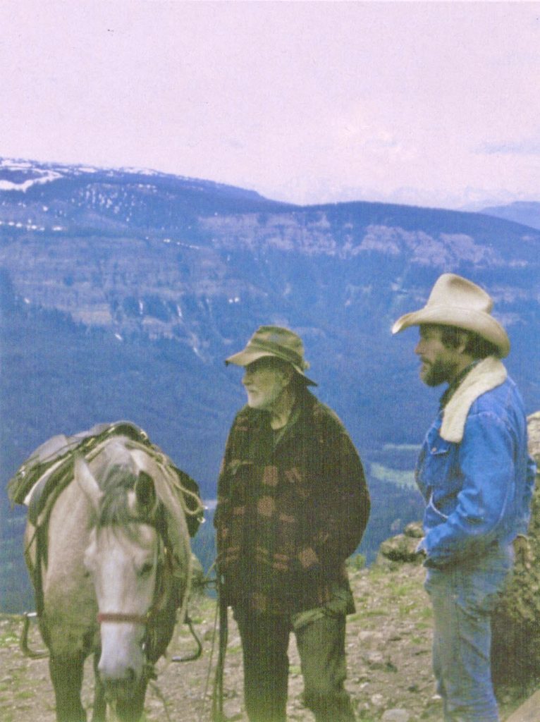
Today, it seems a privilege to sit amongst these stone remains and wonder about the people who left these chippings. You wonder what they were like or how they looked, how they dressed, how their possessions were fabricated, how long and how often they sat at that spot, what they viewed from there, as well as other aspects of their lives.
Today’s wilderness travelers follow in the footsteps of these ancient visitors and marvel at the same beauty that these mountains still offer. Campsites used within the Shoshone National Forest today are the same sites that were occupied by some of the earliest travelers and for the same reasons – availability of water and feed for animals.
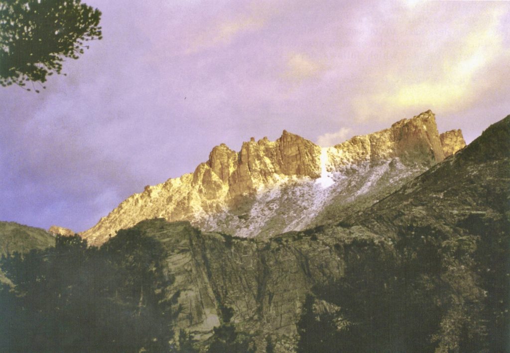
Washakie Remembered in the Winds
In the heart of the Wind River Mountains, there is a beautiful valley filled with timber, meadows, wildflowers, cold clear streams and deep blue lakes. The average elevation is 10,000 feet. This valley runs parallel to and just off the eastern edge of the Continental Divide, which follows down the backbone of the range.
Prominent features in this valley are named after the highly respected Chief of the Shoshone Tribe, Chief Washakie. This well-known chief’s name is found on sites throughout the Shoshone National Forest, but in this beautiful valley there is a trail, lake, mountain, glacier and mountain pass named in his honor.
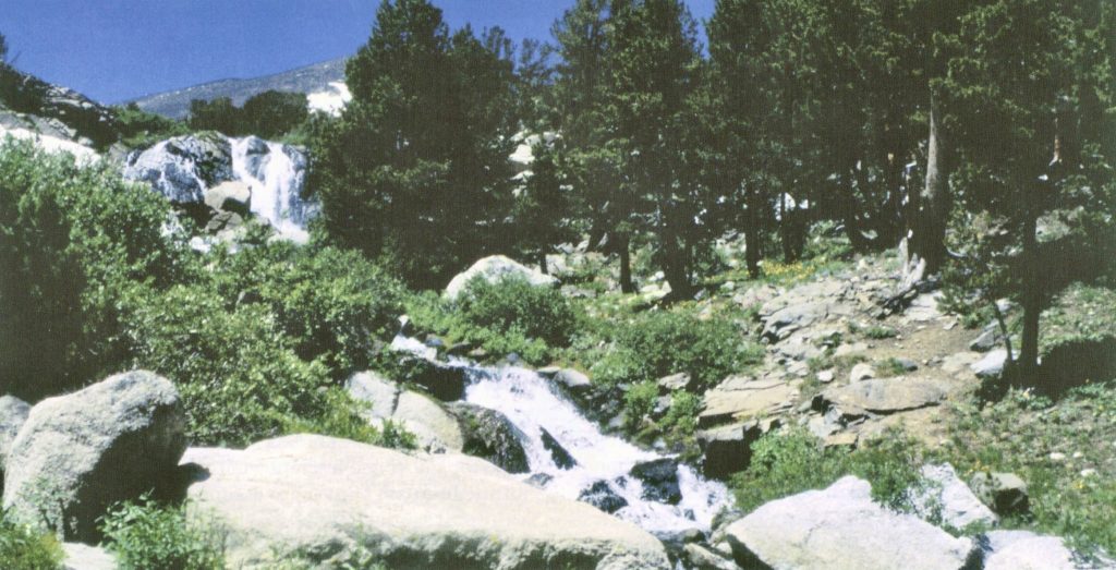
Reaching this area from either side of the range means a climb over and through steep rocky country. The only access into the valley is by foot or horseback. Standing at the base of the granite walls that form the head of this valley, it is hard to imagine the distance and route this water will take before it reaches the sea. The ice and snow that melts in this valley are the headwaters of the South Fork of the Wind River, which will eventually flow out of these mountains through Washakie Reservoir, and then pass within a few yards of Chief Washakie’s final resting place. From there the river will eventually change names and become the Big Horn River, then it will flow into the Yellowstone and then into the Missouri and eventually reach the Gulf of Mexico.
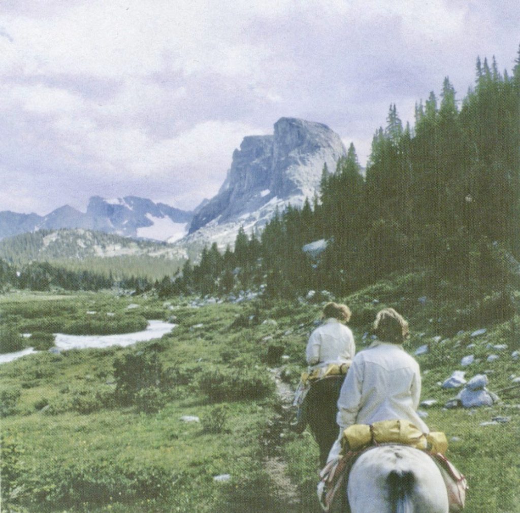
These riders are near the area that inspired artist Roy Kerswill (1925-2002) to paint, “Edge Of The Village.”
This location is near the site where the creeks merge from the South Fork Lakes, just above the center ridge in the painting, and the creek that flows from Washakie Lake above the slope on the right side of the painting. The peak on the right side of the painting is Payson Peak.
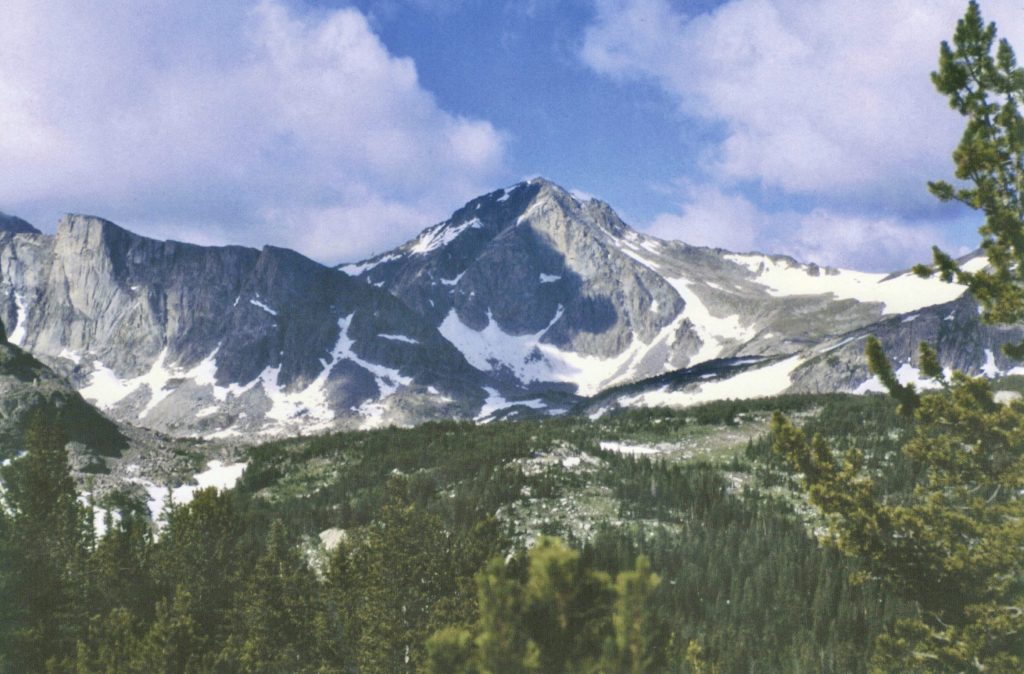
This view is looking west with Washakie Peak in the center. In the valley to the left of the peak and behind the granite face is Washakie Glacier. Washakie Pass is the snow covered area on the right. Off the back side of the peak and down the western slope of the Winds is Washakie Creek. Washakie Lake lies just over the timbered rise in the center-left of this picture.
Washakie Pass
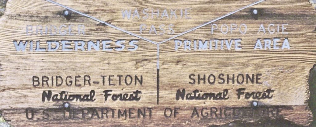
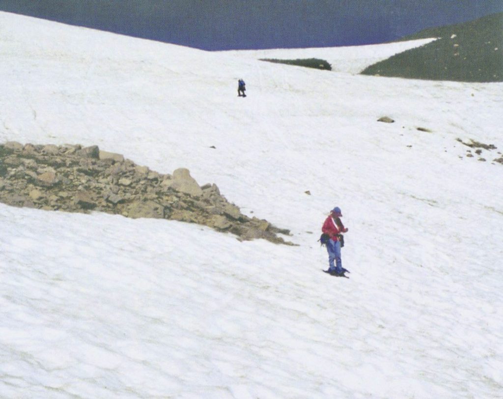
There are only a few passes over the Wind River Range that allow relatively easy access from east to west; Washakie Pass is one of them. Depending on winter snow pack and summer temperatures, the size of the huge snowfield that extends down the Eastern side of the pass varies. The trek over this snowfield, and along the rocks at its edge, can be challenging even in the middle of summer.
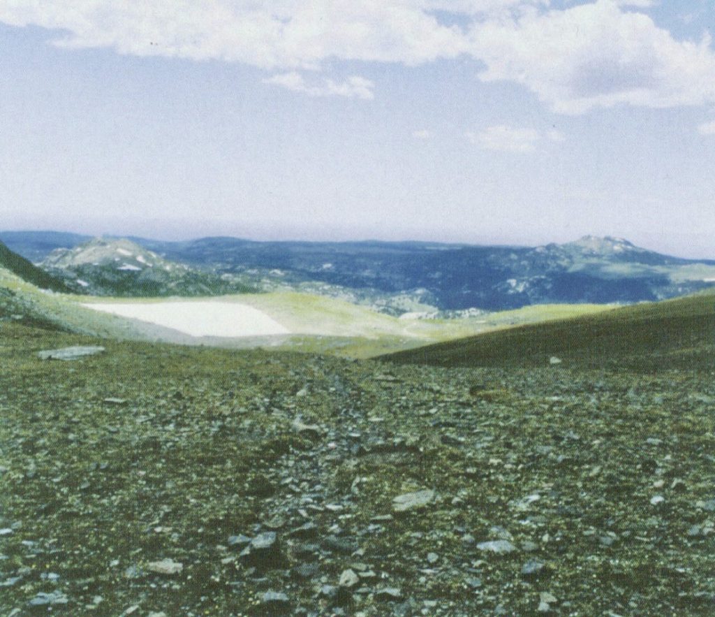
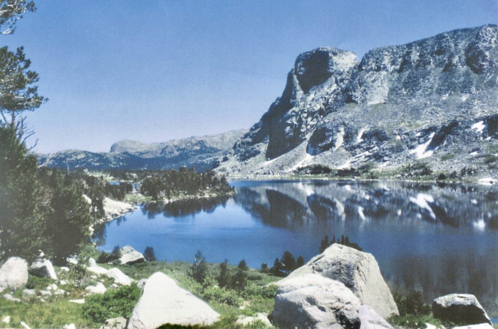
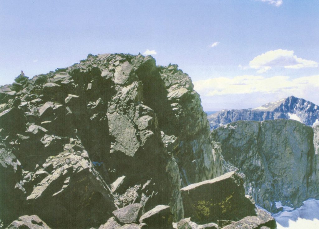
Once on the top of the pass, at an elevation of 11,611 feet, two different worlds can be viewed. The geography of the range becomes evident. The western side of the range is more gradual with open slopes and wide valleys. The distance from this point to the foothills and the open country beyond is closer. To the east, the terrain is more rugged and covers a lot more country. You can not see beyond the valley or the next high ridge that must be crossed to gain sight of the far off Wind River Valley.
This view is one of those inspirational spots, of which there are many, where you can feel the presence of the Creator and know he, too, is smiling.

St. Stephens Indian Mission Foundation is a non-profit organization, incorporated under the laws of the State of Wyoming on March 31, 1974, and listed on page 184 of the 1993 OFFICIAL CATHOLIC DIRECTORY. The sole purpose of the foundation is “to extend financial support to St. Stephens Indian Mission and its various religious, charitable and educational programs and other services conducted primarily for the benefit of the Northern Arapaho and Eastern Shoshone Tribes on the Wind River Indian Reservation.”
Posted in Notes From the Field