


This story was originally published by St. Stephens Indian Mission Foundation in VOL. XXXXII APR/MAY/JUN 2012 NO. 2. St. Stephens Indian Mission Foundation owns the copyright, and the story is reprinted here with permission from the Foundation. More information on the Foundation can be found following the story or by clicking on the link above.
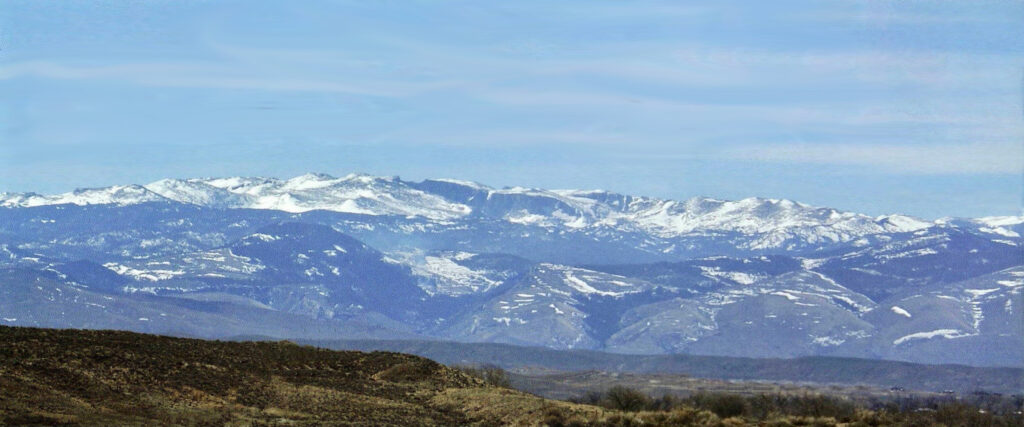
Early inhabitant sites are still being discovered high in the Winds. The Sheepeater branch of the Shoshone Tribe probably knew the range better than anyone. This remote tribe did not utilize horses and lived a simple life in some of the most beautiful country that can be found. These nomadic people learned the country well and knew which passes could be crossed. The Sheepeaters learned which valleys had the best vegetation needed by the different type of animals they depended on for their existence; they also knew where to quarry for soapstone used in making cooking pots and bowls; and where and when to search out and harvest plants and vegetables that were staples of their diets. To make needed stone implements, they found the best sources of stone. This information was not written knowledge; it was verbally passed from generation to generation.
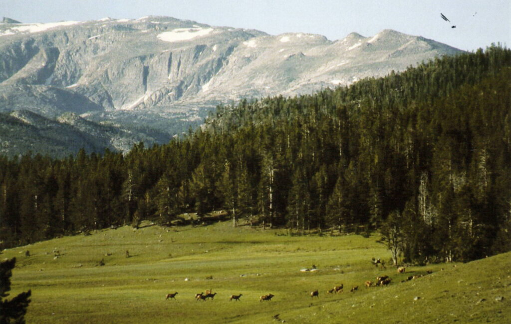
The Plains tribes, who frequented the valleys and foothills of the Winds, came in search of the variety of animals that could be found there. At times, some of the tribes wintered near the upper end of the Wind River Valley where weather can sometimes be milder.
In 1811, a group lead by Wilson Price Hunt, on their way to the Pacific Northwest, crossed the north end of the Winds by way of what would become known as Union Pass at an elevation of 9,212 feet. On their return trip a year later, the group traveled down the western side of the range and crossed at South Pass, where the Winds abruptly end with an elevation of 7,412 feet.
In 1824, drawn by the fur trade, South Pass would be revisited by mountain men like Jedediah Smith and Thomas Fitzpatrick. This era of the mountain men brought trappers, but probably few were curious explorers, into the region. Beaver were plentiful in the rivers and streams along the foothills and this terrain was easy to traverse so there wasn’t a need, or time, to venture deep into the mountains. In 1832, Captain Benjamin Bonneville – a 37 year old Army Captain – was granted leave from the Army to take part in the fur trade. His party was made up of 110 men and 20 wagons. He would spend three-and-a-half years in the mountains before returning to the Army. His wagons were the first wheeled vehicles over South Pass. Captain Bonneville’s group made their way along the foothills of the western slope of the Winds and cached its supplies near the upper end of the Green River Valley, then went on to the Salmon River country to winter. The following spring, Bonneville and his men trapped their way back along the western slope of the Winds and over South Pass, across the Wind River Valley and on to the Big Horn River.
Captain Bonneville was more of an adventurer than he was a trapper. He primarily came to the mountains to explore, map and record whatever information he could of this new and exciting country.
An Attempt Through the Winds
It was early September, 1833, when Captain Benjamin Bonneville and his men returned to the Wind River country and could see nearly the entire Wind River Range before them. The trappers worked their way towards the Winds, trapping along the river as they went. Midway across the valley, they arrived at a major fork in the river. The main branch flows down the middle of the valley from its source to the north. The adjoining fork was flowing directly from the Wind River Range. The party was in need of traps and supplies they had cached on the other side of the range. The ideal situation would be to find a pass over the center of the Winds and save a number of days and miles.
Bonneville made the decision to have the main group of trappers work their way up the center of the valley along the Wind River and wait for him where the river flows out of the mountains. His plan was to take a few men and find a crossing through the center of the Winds, pick up the needed supplies and then cross back over the range at the northern end. A passage through the mountains would save a great deal of time and miles since the other alternative was to go around the southern end of the mountain retracing the trail they had followed in the spring. This was Bonneville’s first time on the eastern side of the Winds. This terrain hadn’t been mapped so he was going on what he had heard from those who had traveled the valley in previous seasons.
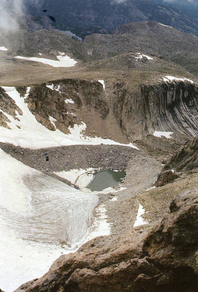
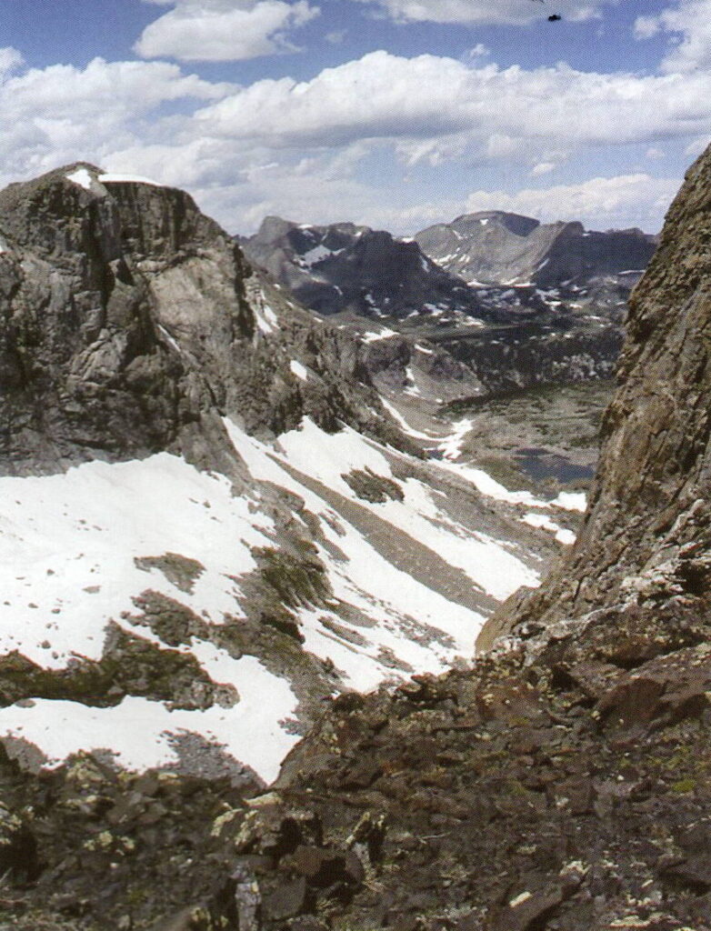
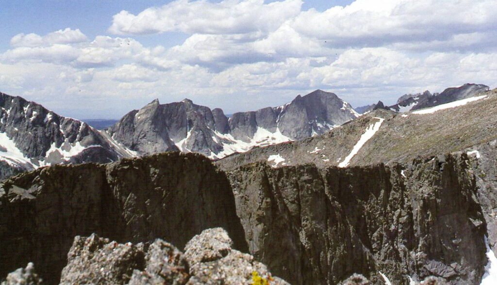
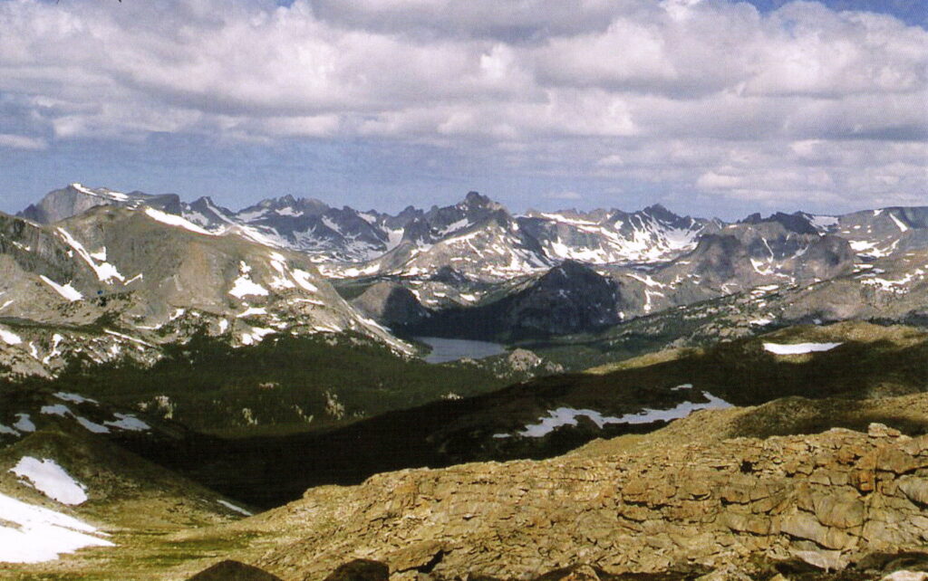
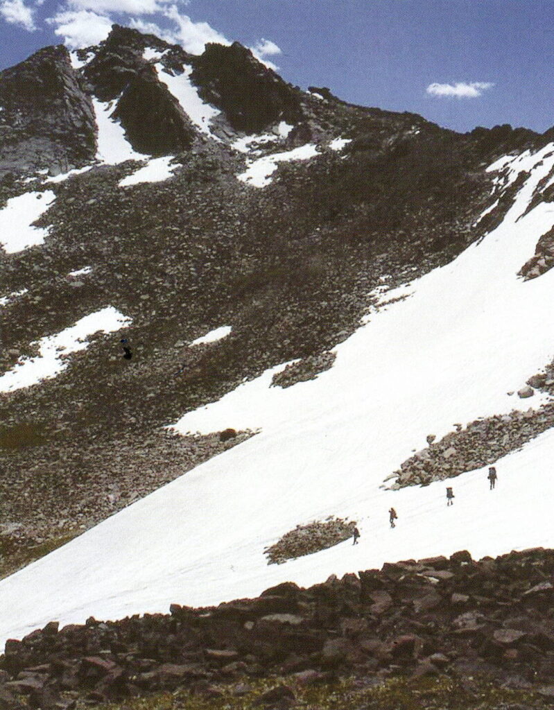
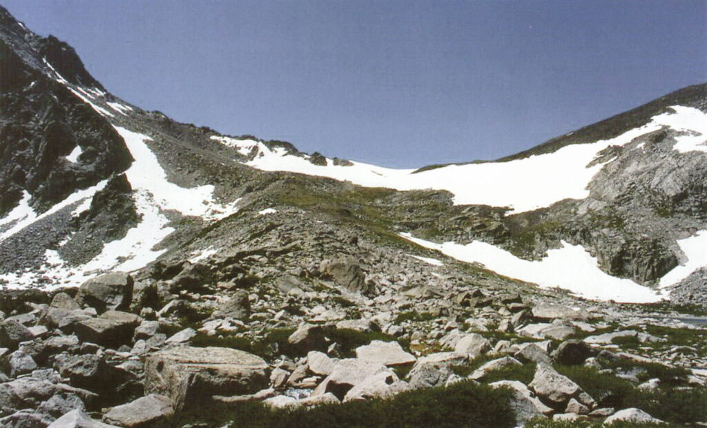
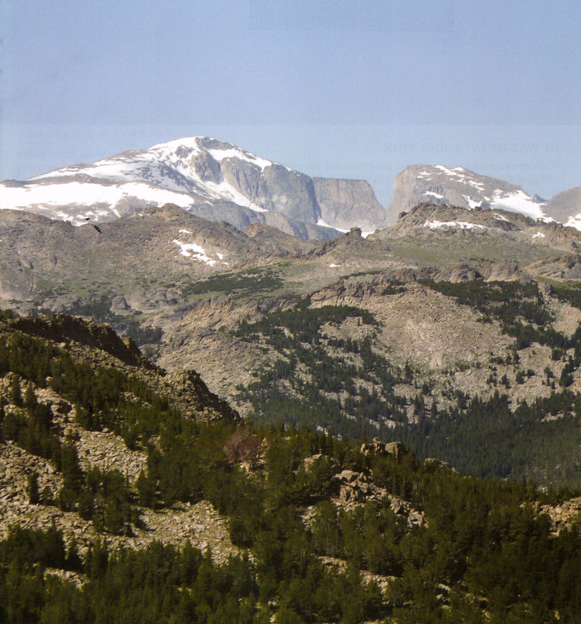
Bonneville, with three companions, left the main group and traveled up the Little Wind River and past the site where St Stephens Indian Mission would be established 51 years later. Several miles above the Mission site is another fork in the river. From a nearby hill there is a full view of the southern portion of the Winds. Foothills block the view of some peaks along the horizon, but what can be seen does not appear to provide easy passage. From Bonneville’s account he thought he was taking the North Fork of the Popo Agie River at this junction. He was in fact on the Little Wind River. The North Fork of the Popo Agie branches closer to the mountain. Bonneville identified the river he took by noting a hot springs they passed initially mistaking the rising steam for that of campfires. Between this hot springs and the base of the mountain, the river splits one time forming the North and South forks of the Little Wind River each with their own deep canyons. It is not clear which of the canyons the party entered, but they soon reached an area where their horses would no longer traverse. They backtracked out of the canyon, but from this advantage point they couldn’t see over the foothills to the crest of the mountain. They made their way up a gradual slope, which was much easier than through the canyon itself. But when they reached the top of that slope they found another incline like the one they had just climbed. When Bonneville and his men reached the top of the second slope, they were getting close to the heart of the range. They spent the next two days climbing deeper into some of the most rugged country in the Winds. Bonneville and one of his companions climbed a high peak and must have felt they had reached the top of the world. Despite the fantastic view it was obvious there wasn’t a way through the range at this point.
As remote as the area was they weren’t alone. One of Bonneville’s companions found human tracks and later saw men at a distance, but could not make contact with them before they disappeared into one of the many canyons. Bonneville was sure the men were part of the Sheepeater Tribe known to live in the high mountains.
Unable to find a crossing, Bonneville and his men made their way back out of the mountains. They traveled along the foothills and did not attempt to find passage through any of the other drainages they crossed in route to the southern end of the mountains. They had spent two hard days in their initial search and after the rugged country they had just encountered, there was no way of knowing other parts of the range wouldn’t have been just as difficult. They were a long way from the cache and still had to make another crossing back over the range to meet the rest of their group. It is hard to know what the snow and ice conditions were in the fall of 1833. Annual snowfall varies from year to year and studies show the glaciers have receded from their original size. Some of the passes in the Winds that can be crossed with horses may not have been accessible when Bonneville and his men made their attempt. The group knew their destination was near the northern end of the range, which may have been why they decided to attempt this crossing, not knowing it was into the most rugged part of the range.
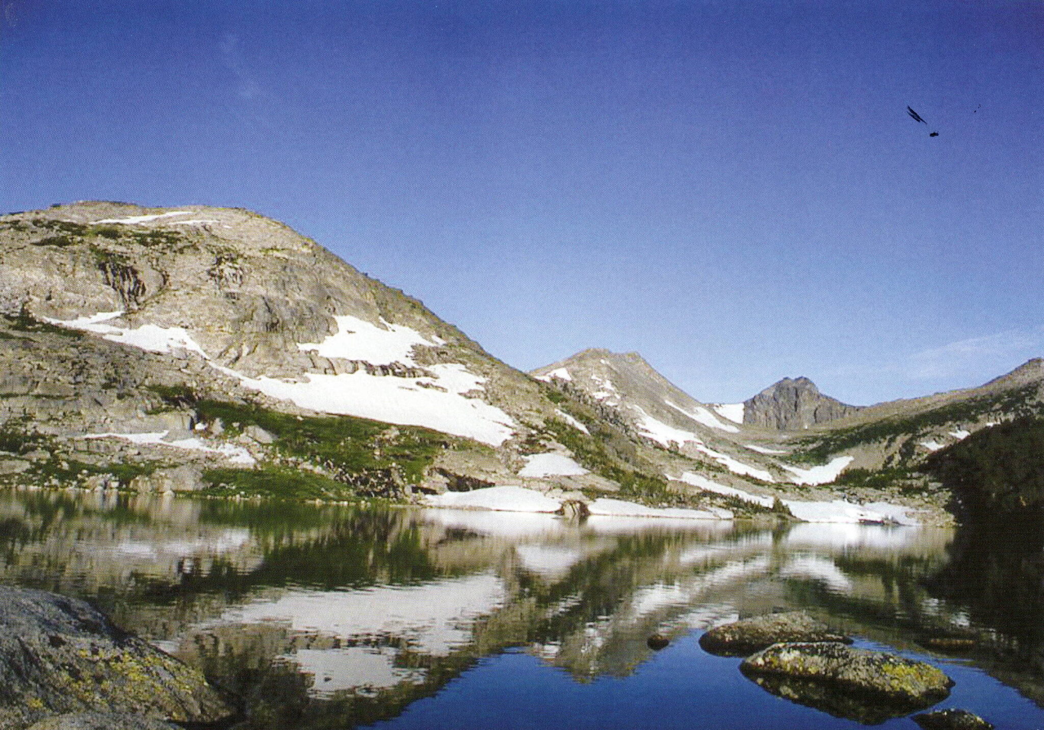
The major drainages that flow from the mountain appear from a distance to be coming directly off the divide. Some of these drainages have valleys behind the foothills that run parallel to the divide for some distance. Had the group made their way into the South Fork of the Little Wind River, they would have found this type of topography. They may not have wanted to travel any further south and the northern end of this beautiful valley appears to be nothing but high, sheer cliffs. Graves Lake at the northern end of the valley seems to block any further travel. But behind the lake and beyond the glacier cut is a side canyon that has an 11,200 foot pass that crosses the divide.
Near the southern end of the South Fork valley is Washakie Pass. Due to the massive snowfield present year around off the steep eastern side of the pass, this crossing would have been a challenge with horses. This pass is at an elevation of 11,611 feet. But once the top of the pass is reached, it is an easy ride off the western slope of the mountain. At this point, crossing would have brought the party off the mountain fairly close to their cache.
Regretfully, when Bonneville and his men left the mountain after their unsuccessful attempt to cross, they did not made any further attempts. They made the long trip south along the base of the range. Each of the major drainages they crossed had a pass over the divide. The group proved the old saying: “You can’t see the forest for the trees.” The same can be said for mountain passes.
It takes time to travel from the base of the mountain up any of the rivers to where their headwaters begin. If there isn’t a pass over the mountain at the head of the drainage, it will take additional time to backtrack out of the drainage to where the terrain allows crossing to the next drainage, if possible. If not, then the group would have to come completely out of the mountain. Several days are needed for each attempt and time was a factor for Bonneville. His main group of trappers needed the equipment and there must have been some idea as to how long the trip was going to take when they initially split up.
After the long trip down the Winds over the end of the range and then up nearly the entire length of the other side, a great deal of time had been used. Once the group reached their cache, they opened it and replenished the needed supplies. The remaining supplies were secured back in the cache. They left the site and traveled back up the Green River valley to the bend in the river where it flowed from the Wind River Range. From there they continued up and over the wise passage at the northern end of the range.
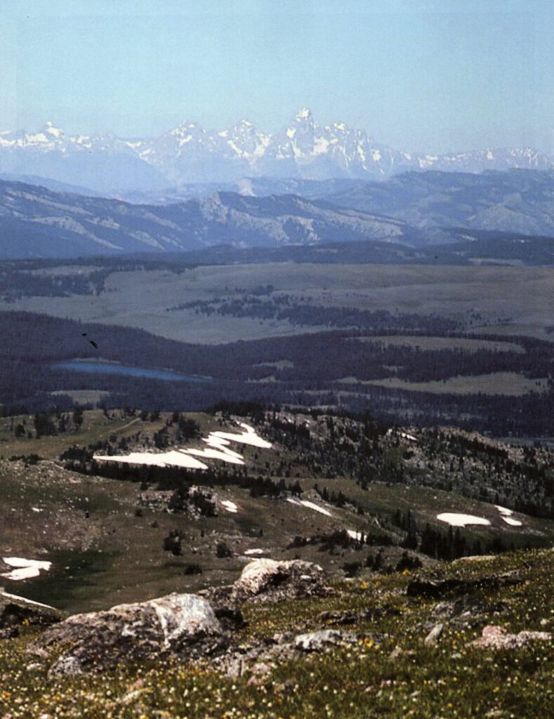
Once they were on top of the pass, they could see to their left the Teton Range on the horizon and the end of the Wind River Range to their right. Once over the pass they entered the head of the Wind River valley and reunited with the main group where they had camped and waited.
Missed Opportunity
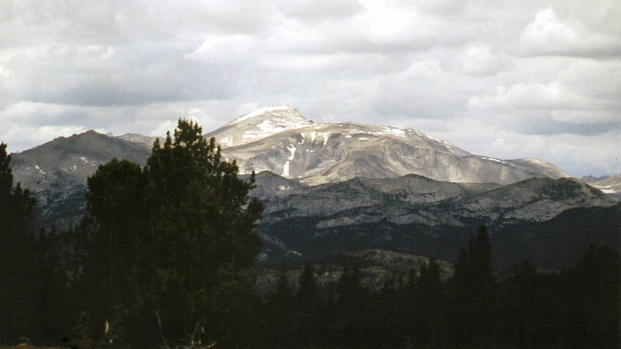
In Captain Bonneville’s journal, it is mentioned his party camped near two lakes and he and one of his companions climbed a high peak. Some researchers believe it was Wind River Peak, which is the highest peak in the southern section of the Winds. This peak is on the divide between the north and middle forks of the Popo Agie. But it’s located well to the south of where Bonneville and his men apparently made their attempt, and in the wrong direction from their intended destination.
Wind River Peak is also not as difficult to climb as the peak described in the journal. There are several lakes near its base where a camp can be made, but there are lakes at the base of numerous peaks throughout the the range. From the top of Wind River Peak, looking across the valley to the south, the last major pass through the range is clearly visible. Once they had descended the peak and returned to camp, the horses would have been able to enter the middle fork canyon, up the other side and through the pass without difficulty. This pass would have brought them out of the mountains on the western slope and greatly shortened the distance to their destination.
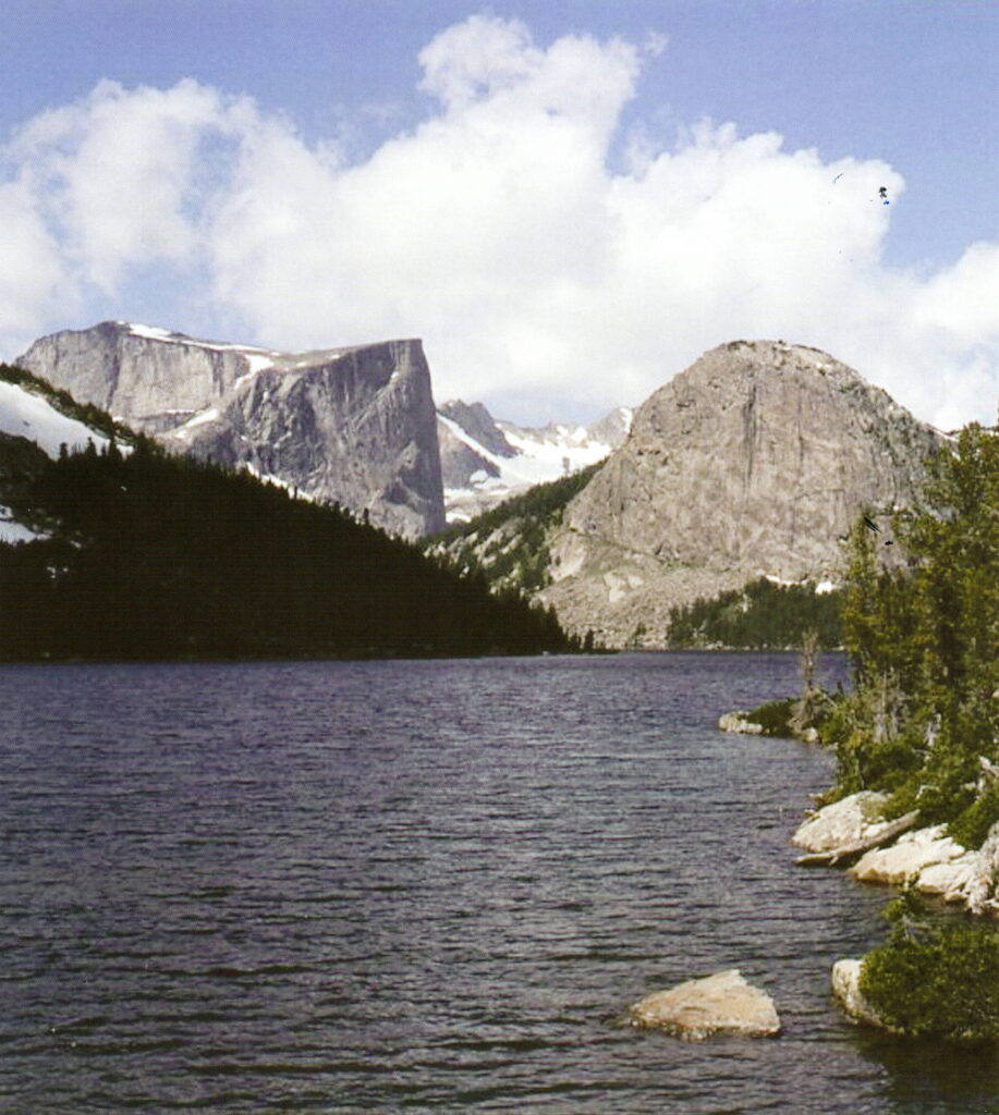
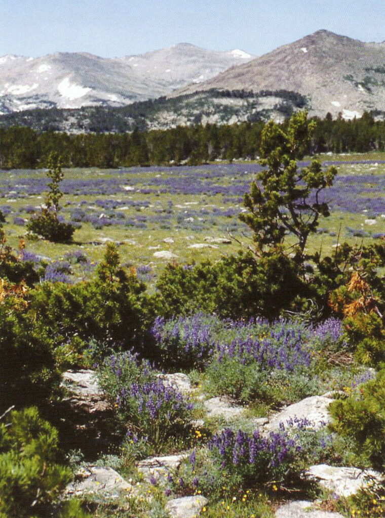
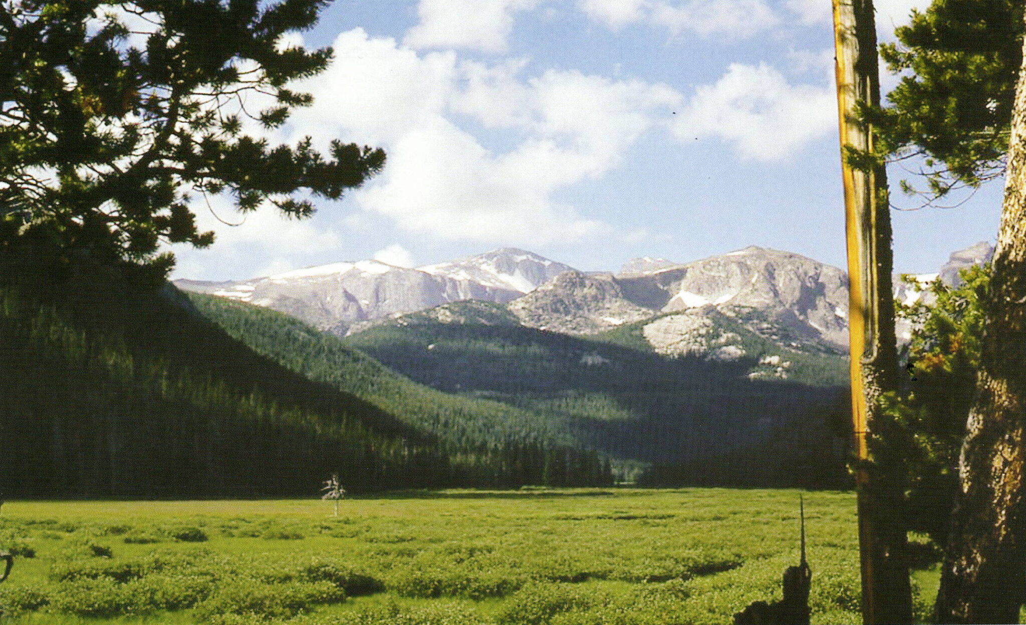
As difficult and dangerous as the terrain was, Captain Bonneville and his men explored the heart of the Winds. They made note of how beautiful the country was with the snow capped peaks and high mountain lakes surrounded by grassy meadows. Bonneville and his men realized they were near the source of waters that would flow for hundreds of miles and become part of the mighty rivers further downstream. These men must have also felt a spiritual feeling while standing at a point as high as they could get and as near to the sky as they could reach.
It would be nearly ten years before the next documented explorer, John C Fremont, would enter and climb the high peaks of the Wind River Range and make known the majesty and beauty of the mountains we all love.

St. Stephens Indian Mission Foundation is a non-profit organization, incorporated under the laws of the State of Wyoming on March 31, 1974, and listed on page 184 of the 1993 OFFICIAL CATHOLIC DIRECTORY. The sole purpose of the foundation is “to extend financial support to St. Stephens Indian Mission and its various religious, charitable and educational programs and other services conducted primarily for the benefit of the Northern Arapaho and Eastern Shoshone Tribes on the Wind River Indian Reservation.”
