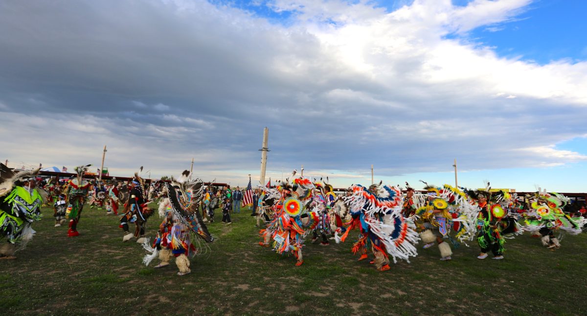
Ft. Washakie Pow Wow. Photo: Wyoming Office of Tourism
Wind River Indian Reservation Trail
The Wind River Reservation Trail offers a cultural peek into the history of the Eastern Shoshone and Northern Arapaho tribes, who share the beautiful wide-open spaces northwest of Lander and Riverton.
You can also pick up a copy of the Wind River Reservation Self-Guided map at local chambers of commerce to discover even more.
Tour Options
FULL DAY, 70 MILES ROUNDTRIP
Wind River Indian Reservation
The 1.7+ million-acre Reservation is home to the Eastern Shoshone and Northern Arapaho tribes and was established in 1868 through the Bridger-Teton Treaty with the U.S. government. The Eastern Shoshone moved to what they call the “Warm Valley” from the Great Basin area and the Arapaho are originally from Colorado.
Fort Washakie, a former U.S. military outpost set up in 1870 as Camp Brown and renamed in 1878, is now the headquarters of the tribes’ government and the Bureau of Indian Affairs Wind River Agency and the center of community of life for the Shoshone people. This is your starting point.
Fort Washakie & Chief Washakie’s Grave
From the Shoshone Tribal Service Station on the corner of Hwy. 287 and North Fork Road, turn toward the mountains (west) on North Fork Road less than 1 block to the former military compound where some of the original buildings are still in use.
Continue on North Fork road for one-half mile to the Fort Washakie Cemetery on your right. The last chief of the Shoshone Tribe, Chief Washakie, is buried in the older section of the cemetery. A large headstone marks his grave.
Sacajawea’s Grave Site
Upon leaving Ft. Washakie Cemetery, turn right onto North Fork Road and travel for 2 blocks. Bear left onto South Fork Road and travel south 1.4 miles to Cemetery Lane. Take a left and you will see Sacajawea’s cemetery on the right. A monument and a life-sized bronze statue honors the famous guide of the Lewis and Clark Expedition, who many believe is buried here. Also on the grounds is the log building that housed the first school for Indians in 1878.
Continue down Cemetery Lane to Trout Creek Road and turn left. On the right you will see the Roberts Shoshone Episcopal Mission, founded by Reverend John Roberts, pioneer missionary to the Shoshone people for 66 years. In 1889, Chief Washakie gave Reverend Roberts 160 acres of land for the site of Mission and a boarding school for Shoshone girls. A plaque at the entrance describes the history of the mission.
Travel east on Trout Creek Road for 2 miles and you will come to the intersection with Hwy. 287. On the right is a grocery store, bank, and businesses that sell Native American arts and crafts. To continue the tour, cross Hwy. 287 onto Ethete Road.
Eastern Shoshone Cultural Center
Drive one mile east on Ethete road and you will see Fort Washakie Elementary School on the left. At the east end of the school building in the Rupert Weeks Traditional Center, also called the Eastern Shoshone Culture Center. Featured are exhibits of tribal culture arts and crafts, and historical information and photos.
Ethete & St. Michael’s Mission
Follow Ethete Road for 3.4 miles to the heart of the Northern Arapaho community, Ethete, which means “good” in the Arapaho language. At the four-way intersection there is a stop light. If you take a right onto Hwy. 132/Blue Sky Highway, you will see (on the left) original buildings of St. Michael’s Mission, where many Arapaho children attended school at Faith Hallin the mid 1900s.
St. Stephen’s Mission
St. Stephen’s Mission, a Catholic mission founded in the early 1900s, can be found by going back out of St. Michael’s and turning left onto Hwy. 132/Blue Sky Hwy. In 2 miles, you will come to 17-mile Road/Hwy. 137, which may not be marked. Turn left, heading east for 17 miles. At the junction of highways 138 and 137/ Rendezvous Road veer left onto Rendezvous Road. You will see the St. Stephen’s Elementary School in the shape of a tepee. Take a right on Mission road and follow the road past the school and left into the Mission.
The original buildings still exist and Mass is held in the historic remodeled church. There is a gift shop and Heritage Center where you will find historic photographs and arts and crafts. Once you’ve toured the mission follow the same route to get back to Fort Washakie or take a right from Mission Road onto Rendezvous Road to the intersection with Hwy. 789. From here you can go right to Hudson and Lander or left to Riverton.
Northern Arapaho Experience Room
The Northern Arapaho Experience Culture Room is located in the Wind River Casino at 10269 Hwy. 789, just south of Riverton. You will learn about the past, present and future of the Northern Arapaho Tribe through exhibits and tribal artifacts. A tribal elder is usually present to guide you through the small museum. The casino also offers weekly Native American dance exhibitions in the summer.
HALF DAY, <30 MILES ROUNDTRIP
For a half-day tour, visit the Shoshone Tribal Cultural Center, the two cemeteries, the Shoshone Episcopal Mission and St. Michael’s Mission in Ethete. (See details in full-day itinerary).
Legend of the Shoshone Hot Springs
Long, long ago, a young chief and his maiden friend were walking in what white men now call Wind River Canyon. The legend says a strong wind picked an eagle feather from the Chief’s hair and wafted it down the canyon. Since the right to wear the feather had been won with much danger to his life in attacking an enemy, the young warrior and his sweetheart ran, following the feather. They found it beside a vent where steam issued from the earth. Knowing that the Great Spirit had led them, they were not afraid. They bathed in the warm springs and told their tribe about them. The tribe camped nearby, everyone bathed, aches of the old were cured and young warriors became even more strong and vigorous.
Hotels & Motels
Black Bear Inn
505 W. Ramshorn
Dubois, WY
Branding Iron Inn
401 W. Ramshorn
Dubois, WY
Chinook Winds Motel
640 S. 1st St.
Dubois, WY
Comfort Inn & Suites
2020 N. Federal Blvd.
Riverton, WY
Frontier Lodge
808 Main St.
Lander, WY
Green Mountain Motel
2271 Hwy. 789
Jeffrey City, WY
Hampton Inn & Suites
2500 North Federal Blvd.
Riverton, WY
Holiday Inn Express & Suites
1002 11th St.
Lander, WY
Holiday Inn Riverton – Convention Center
900 E. Sunset Blvd.
Riverton, WY
Inn at Lander
260 Grandview Dr.
Lander, WY
Jackpine Motel
120 S. Federal Blvd.
Riverton, WY
Lava Mountain Lodge
3577 Hwy. 26 W.
Dubois, WY
Longhorn Ranch Lodge & RV
5810 E. Hwy. 26
Dubois, WY
Motel 6
302 E. Fremont Ave.
Riverton, WY
Noble Hotel
288 Main St.
Lander, WY

Paintbrush Motel
1550 N. Federal Blvd.
Riverton, WY
Rocky Mountain Lodge
1349 W. Ramshorn
Dubois, WY
Rodeway Inn & Suites Pronghorn Lodge
150 E. Main St.
Lander, WY
Roomers Motel
319 N. Federal Blvd.
Riverton, WY
Shoshone Rose Casino & Hotel
5690 Hwy. 287
Lander, WY
Silver Spur Motel
1240 Main St.
Lander, WY
Stagecoach Motor Inn
103 Ramshorn
Dubois, WY
Super 8 Motel
1412 Warm Springs Dr.
Dubois, WY
Super 8 Motel
1040 N. Federal Blvd.
Riverton, WY
The Lander Motel
569 Main St.
Lander, WY
The Mill House
125 Main St.
Lander, WY
Tomahawk Motor Lodge
208 E. Main St.
Riverton, WY
Trail’s End Motel
511 Ramshorn
Dubois, WY
Twin Pines Lodge & Cabins
218 W. Ramshorn
Dubois, WY
Wind River Hotel & Casino
180 Red Wolf Pl.
Riverton, WY
Wind River Motel
519 W. Ramshorn
Dubois, WY
Museums & Exhibits
Children’s Center for Arts, Technology and Science
120 S. Third St. E.
Riverton, WY
Dubois Museum: Wind River Historical Center
909 W. Ramshorn
Dubois, WY
Eastern Shoshone Tribal Cultural Center
90 Ethete Rd.
Ft. Washakie, WY
Evans/Dahl Memorial Museum
545 Main St.
Lander, WY
Fremont County Pioneer Museum
1443 W. Main St.
Lander, WY
Gallery of the Wind & Museum
14631 Hwy. 287
Fort Washakie, WY
Headwaters Arts & Conference Center
20 Stalnaker St.
Dubois, WY
Intertribal Center
2860 W. Main St.
Riverton, WY
Lander Art Center
258 E. Main St.
Lander, WY
Lander Children’s Museum
465 Lincoln Ave.
Lander, WY
National Bighorn Sheep Center
10 Bighorn Ln.
Dubois, WY
National Museum of Military Vehicles
6419 Hwy. 26
Dubois, WY
Northern Arapaho Experience Culture Room
180 Red Wolf Pl.
Riverton, WY
Riverton Museum
700 E. Park Ave.
Riverton, WY
Sixth Crossing
4181 Hwy. 789
Lander, WY
South Pass City State Historic Site
125 Main St.
South Pass, WY
St. Stephens Indian Mission & Heritage Center
33 St. Stephens Rd.
St. Stephens, WY
Wind River Heritage Center
1075 S. Federal Blvd.
Riverton, WY
Wind River Valley Artists Guild Gallery
20 Stalnaker St.
Dubois, WY
Wind River Wild Horse Sanctuary
8616 Hwy. 287
Lander, WY
Wyoming Game and Fish Wildlife Exhibit
260 Buena Vista Dr.
Lander, WY
Restaurants
Arby’s
1140 W. Main St.
Riverton, WY
Atlantic City Mercantile
100 E. Main St.
Atlantic City, WY
Bar 10
114 S. Broadway Ave.
Riverton, WY
Blossoms & Boba Cafe
501 W. Main St.
Riverton, WY
Breadboard
124 E. Washington Ave.
Riverton, WY
Breadboard
1350 W. Main St.
Lander, WY
Brown Sugar Coffee Roastery
303 E. Main St.
Riverton, WY
Buffalo Coffee
180 Red Wolf Pl.
Riverton, WY
Buffalo Sportsbook Grill
180 Red Wolf Pl.
Riverton, WY
Burger King
2150 N. Federal Blvd.
Riverton, WY
Carson’s Bar & Grill
592 Main St.
Lander, WY
Cee Nokuu Cafe
180 Red Wolf Pl.
Riverton, WY
China Garden
162 N. 6th St.
Lander, WY
Chopstix Asian Bistro
824 N. Federal Blvd.
Riverton, WY
Cowboy Cafe
115 E. Ramshorn
Dubois, WY
Cowfish/Lander Brewing Co
148 Main St.
Lander, WY
Crooked Creek
76 Fir Rd.
Dubois, WY
Dairy Land Drive-In
977 Main St.
Lander, WY
Dairy Queen
819 N. Federal Blvd.
Riverton, WY
Daylight Donut & Ice Cream
622 E. Main St.
Riverton, WY
Deka-Guy Hee
5690 Hwy. 287
Lander, WY
Domino’s Pizza
806 N. Federal Blvd.
Riverton, WY
Domino’s Pizza
175 N. 4th St.
Lander, WY
El Jarro
1422 Warm Springs Dr.
Dubois, WY
El Sol De Mexico
453 Main St.
Lander, WY
El Vaquero
116 N. 6th St. E.
Riverton, WY
End Zone
692 Main St
Lander, WY
Flat Stick Bar & Grill
1 Golf Course Dr.
Lander, WY
Gannett Grill
126 Main St.
Lander, WY
Get Hooked
12 Boysen Marina Rd.
Shoshoni, WY
Ichiban Japanese Steakhouse
303 S. Federal Blvd.
Riverton, WY
Kai Espresso
109 Main St.
Hudson, WY
KFC
830 N. Federal Blvd.
Riverton, WY
KT’s Grab N Grub
204 E. 2nd St.
Shoshoni, WY
La Luna
711 E. Main St.
Riverton, WY
Lander Bake Shop
259 Main St.
Lander, WY
Little Caesars
1104 N. Federal Blvd.
Riverton, WY
Maverick Cafe
808 Main St.
Lander, WY
McDonald’s
813 N. Federal Blvd.
Riverton, WY
McDonald’s
235 McFarlane Dr.
Lander, WY
Middle Fork
351 Main St.
Lander, WY
Miner’s Grubstake
150 E. Main St.
Atlantic City, WY
Morning Star Restaurant
800 Blue Sky Hwy.
Ethete, WY
Mt. Everest Nepalese and Indian Bistro
1616 N. Federal Blvd.
Riverton, WY
Mulino Italian Bistro
129 Main St.
Lander, WY
Noon Rock Pizza
112 E. Ramshorn
Dubois, WY
Oxbow
170 E. Main St.
Lander, WY
Paintbrush Grill
693 Blue Sky Hwy.
Ethete, WY
Perrett’s
519 W. Main St.
Riverton, WY
Phil’s Dog Shak
611 E. Main St.
Riverton, WY
Pizza Hut
215 N. Federal Blvd.
Riverton, WY
Pizza Hut
670 E. Main St.
Lander, WY
Pony Expresso
926 N. Federal Blvd.
Riverton, WY
QT’s Restaurant
900 E. Sunset Dr.
Riverton, WY
Red Willow Restaurant, Wind River Hotel & Casino
180 Red Wolf Pl.
Riverton, WY
Riverton Country Club
4275 Country Club Rd.
Riverton, WY
Roasted Bean & Cuisine
514 W. Main St.
Riverton, WY
Rustic Pine Tavern
119 E. Ramshorn
Dubois, WY
Rusty Truck
400 N. Federal Blvd.
Riverton, WY
Shoshone Tribal Service & Food Mart
3 N. Fork Rd.
Fort Washakie, WY
Shoshoni Senior Center
214 E. 2nd St.
Shoshoni, WY
Sinks Coffee
300 Main St.
Lander, WY
Speedway Cafe
815 S. Federal Bvd.
Riverton, WY
Split Rock Bar and Cafe
2297 Hwy. 789
Jeffrey City, WY
Subway
900 W. Main St.
Riverton, WY
Subway
960 Main St.
Lander, WY
Subway Wal-Mart
1733 N. Federal Blvd.
Riverton, WY
Svilar’s Bar & Steakhouse
173 S. Main St.
Hudson, WY
Taco Bell
1812 N. Federal Blvd.
Riverton, WY
Taco Johns
623 W. Main St.
Riverton, WY
Taco Johns
870 W. Main St.
Lander, WY
Taylor Creek Sinclair
1426 Warm Springs Dr.
Dubois, WY
Thai Chef
720 E. Main St.
Lander, WY
Thai Chef 2
712 E. Fremont Ave.
Riverton, WY
The Cove Restaurant
301 E. Main St.
Riverton, WY
The Depot
110 S. 1st St.
Riverton, WY
The Lone Buffalo Steakhouse
120 E. Ramshorn
Dubois, WY
The Lone Burrito
106 E. Ramshorn
Dubois, WY
The Moose Outpost
616 W. Ramshorn
Dubois, WY
The Perch Coffee House
132 E. Ramshorn
Dubois, WY
The Summit Restaurant
260 Grandview Dr.
Lander, WY
Tony’s Pizza
637 Main St.
Lander, WY
Trailhead Restaurant
203 E. Main St.
Riverton, WY
Village Cafe
515 W. Ramshorn
Dubois, WY
Wendy’s
1800 N. Federal Blvd.
Riverton, WY
Wilderness Boundary Restaurant, Lava Mountain Lodge
3577 Hwy. 26
Dubois, WY
Tours
3C Guiding
P. O. Box 493
Dubois, WY
Cutthroat Fly Shop & Adventures
202 E. Ramshorn
Dubois, WY
Dubois Fish Hatchery
5 Fish Hatchery Ct.
Dubois, WY
Dubois Museum: Wind River Historical Center
909 W. Ramshorn
Dubois, WY
Eagle Bronze Foundry
130 Poppy St.
Lander, WY
Eastern Shoshone Tribe Buffalo Tours
#14 N. Fork Rd.
Fort Washakie, WY
Equitour, Ltd.
10 Stalnaker St.
Dubois, WY
Fremont County Pioneer Museum
1443 W. Main St.
Lander, WY
National Bighorn Sheep Center
10 Bighorn Ln.
Dubois, WY
Riverton Museum
700 E. Park Ave.
Riverton, WY
South Pass City State Historic Site
125 Main St.
South Pass, WY
Union Pass Rentals
448 Union Pass Rd.
Dubois, WY
Wind River Climbing Guides
P. O. Box 2031
Lander, WY
Wind River Wild Horse Sanctuary
8616 Hwy. 287
Lander, WY
Visitors Centers
Dubois Chamber of Commerce
Dubois, WY
Lander Chamber of Commerce
100 N. 1st St.
Lander, WY
Riverton Chamber & Visitor Center
1075 S. Federal Blvd.
Riverton, WY
Shoshoni Chamber of Commerce
216 Idaho St.
Shoshoni, WY
Sinks Canyon State Park Visitor Center
3018 Sinks Canyon Rd.
Lander, WY
U. S. Forest Service Visitor Center
333 E. Main St.
Lander, WY
US Forest Service Visitor Center
1403 W. Ramshorn
Dubois, WY