



The Mormon Trail
The Mormon Trail covers about 1,300 miles starting in Illinois. In Wyoming it travels the same route as the Oregon and California trails.
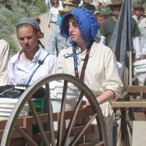
It’s hard to even imagine making the trek for thousands of miles, but you can get a taste of it, pushing a cart for a small section on the trail.
Explore the Mormon Trail and its landmarks on the Sweetwater Driving Tour.
My Mormon Trail Experience
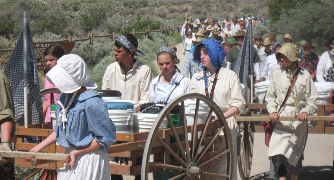
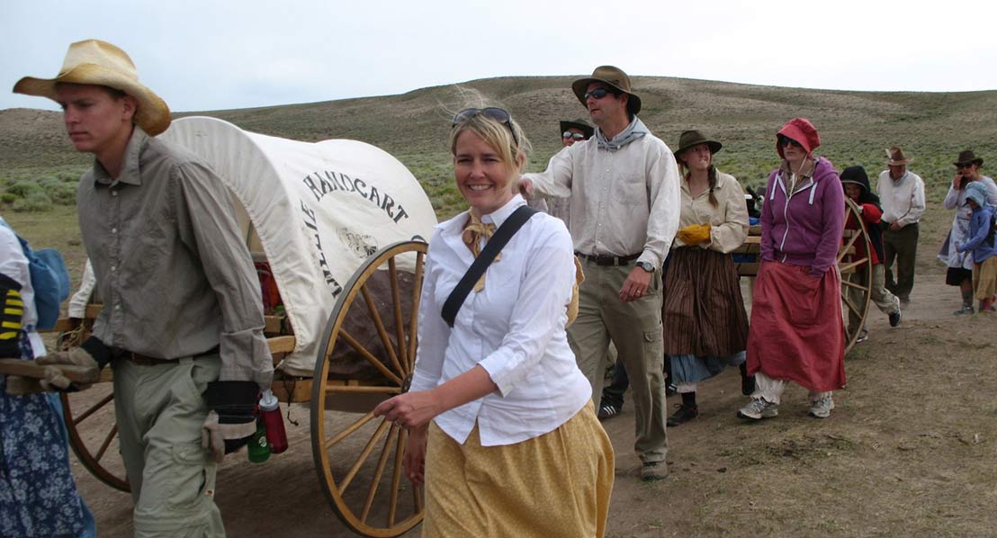
Up to 150,000 people visit the National Trails managed by the Lander office of the Bureau of Land Management, Jared Oakleaf with the agency told me. The Lander office manages trails in Fremont County, but also sections of the trails in nearby counties. Of those thousands of visitors, most head to Martins Cove, an important stop on the Mormon Trail and a place church groups come from all over to re-enact part of the arduous journey, pulling their own handcarts and dressing in the clothing of the pioneers to better understand what their ancestors went through to build a new home in Utah.
The Mormon Trail covers about 1,300 miles starting in Illinois. In Wyoming it travels the same route as the Oregon and California trails.
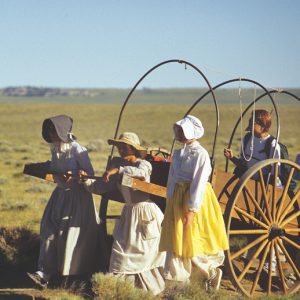
As if traveling the rugged country wasn’t hard enough by wagon, thousands of Mormons headed to the Utah territory pulling handcarts from Illinois, which was cheaper than buying a covered wagon and livestock to pull it. The wooden carts were about seven feet long and could hold up to 500 pounds and be either pushed or pulled. That weight was for supplies so people mostly walked when not taking their turn pulling the cart. They forded rivers with the carts, slogged through sand and push them up mountain passes.
I was impressed with the people who chose the re-enactments, pulling a handcart for an afternoon or a couple of days.
It’s hard to even imagine making the trek for thousands of miles, but you can get a taste of it, pushing a cart for a small section on the trail.
The history is fascinating and also heartbreaking. Interpretive markers along the way tell the story of people wanting to build a new life and those who died along the way.
While the Mormon Trail crosses through several counties in Wyoming, several important stops are in Wind River Country. Check out these sites.
Split Rock, a distinctive “gun sight” notch in the Rattlesnake Mountains was an important marker for those traveling the trail. It directed them to South Pass and was visible more than 75 miles away. Split Rock itself is located in Natrona County, but the BLM Interpretive Rest Area is in Fremont County. Travel West of Muddy Gap Junction on US 287 for about eight miles to the Split Rock Rest Area on the North side of the highway. There are interpretive panels, a short hiking trail and an overlook where you can see the trail ruts.
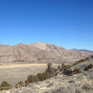
Exhausted from the river crossing, travelers would then cross a grassy swamp, that below, even sometimes just a few inches, was a bed of solid ice known as the Ice Slough. The Ice Slough is a small tributary of the Sweetwater, insulated by surface vegetation so it stayed frozen into the early summer. Travers dug up large blocks of ice to cool their water barrels for the arduous stretches ahead. You can visit an information sign about the Ice Slough 9.5 miles west of Jeffrey City on US 287. The ice slough itself is located about five miles to the east.
An October blizzard stopped the Willie Handcart Company, which was eventually rescued by a search party from Salt Lake. Unfortunately many people died before rescue and 15 were buried in a common grave now marked with a plaque. The public site is maintained by the LDS church, which has built a small memorial park and rest area. You can see trail ruts coming over the small hill. The site is located at Rock Creek, about 8 miles southeast of Atlantic City on the Lewiston Road. Inquire about road conditions before heading to the site.
Split Rock
Split Rock, a distinctive “gun sight” notch in the Rattlesnake Mountains was an important marker for those traveling the trail. It directed them to South Pass and was visible more than 75 miles away. Split Rock itself is located in Natrona County, but the BLM Interpretive Rest Area is in Fremont County. Travel West of Muddy Gap Junction on US 287 for about eight miles to the Split Rock Rest Area on the North side of the highway. There are interpretive panels, a short hiking trail and an overlook where you can see the trail ruts.
The Ice Slough
Exhausted from the river crossing, travelers would then cross a grassy swamp, that below, even sometimes just a few inches, was a bed of solid ice known as the Ice Slough. The Ice Slough is a small tributary of the Sweetwater, insulated by surface vegetation so it stayed frozen into the early summer. Travers dug up large blocks of ice to cool their water barrels for the arduous stretches ahead. You can visit an information sign about the Ice Slough 9.5 miles west of Jeffrey City on US 287. The ice slough itself is located about five miles to the east.
Rock Creek
An October blizzard stopped the Willie Handcart Company, which was eventually rescued by a search party from Salt Lake. Unfortunately many people died before rescue and 15 were buried in a common grave now marked with a plaque. The public site is maintained by the LDS church, which has built a small memorial park and rest area. You can see trail ruts coming over the small hill. The site is located at Rock Creek, about 8 miles southeast of Atlantic City on the Lewiston Road. Inquire about road conditions before heading to the site.