


This story was originally published by St. Stephens Indian Mission Foundation in VOL. XXIII APR/MAY/JUN 1993 NO. 2. St. Stephens Indian Mission Foundation owns the copyright, and the story is reprinted here with permission from the Foundation. More information on the Foundation can be found following the story or by clicking on the link above.
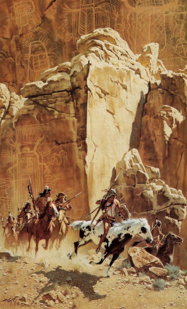
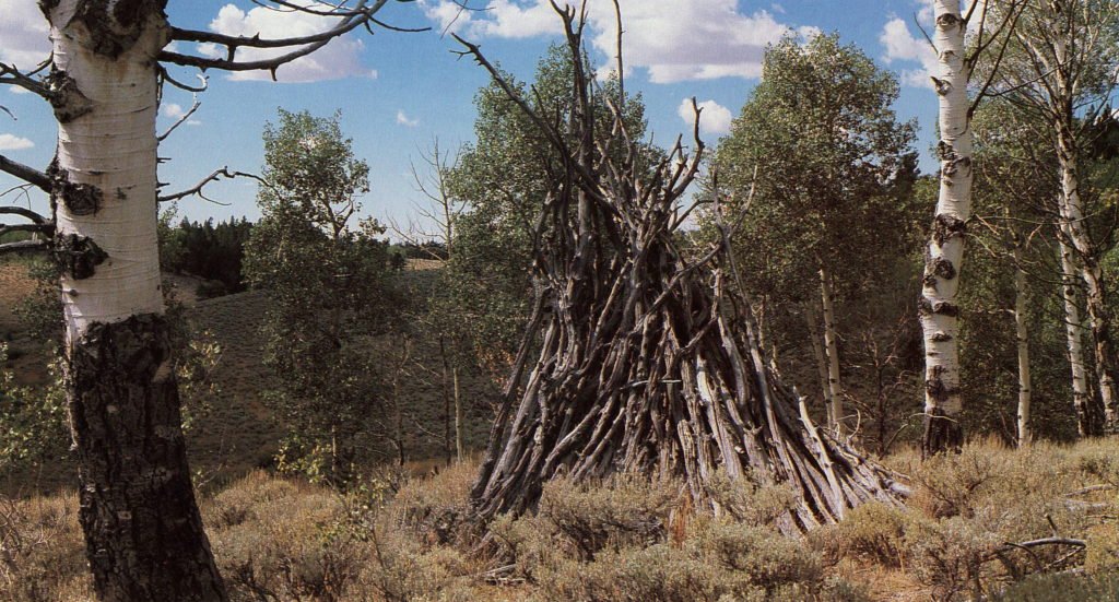
The Wind River Range, like many mountains across the country, has been a special place for uncounted generations. When the Shoshone first traveled to this region to hunt, they found scattered evidence of earlier inhabitants. Mysterious etchings on stone, like those depicted in Frank McCarthy’s painting featured on the front cover, were found throughout the foothills of the range. The significance of this ancient art, as well as the artists remain unknown. (A past issue of THE RENDEZVOUS – Volume XVIII Issue 2 – explored several of these petroglyphs and featured a variety of rock art.) Dolmens and ancient trails, as well as stone chipping left by early craftsmen making various tools and arrowheads, give evidence of their passing. Teepee structures made of wood, which stand intact due to the dry climate of this region, have been found from one end of the range to the other. These remnants do not provide an identity to the early inhabitants, only that they once lived in the area.
In more recent times the range was a dividing line for tribal boundaries. The Northern Plains Indians roamed the country to the east of the range which included the Crow, Cheyenne and Arapaho tribes. On the west lived the Great Basin tribes — the Shoshone, Bannock and Ute. The Eastern Shoshone visited both sides of the range, traveling back and forth by way of natural pass at the southern end. The Wind River Range did not form an impossible barrier between these tribes, but rather a division of geographic environments.
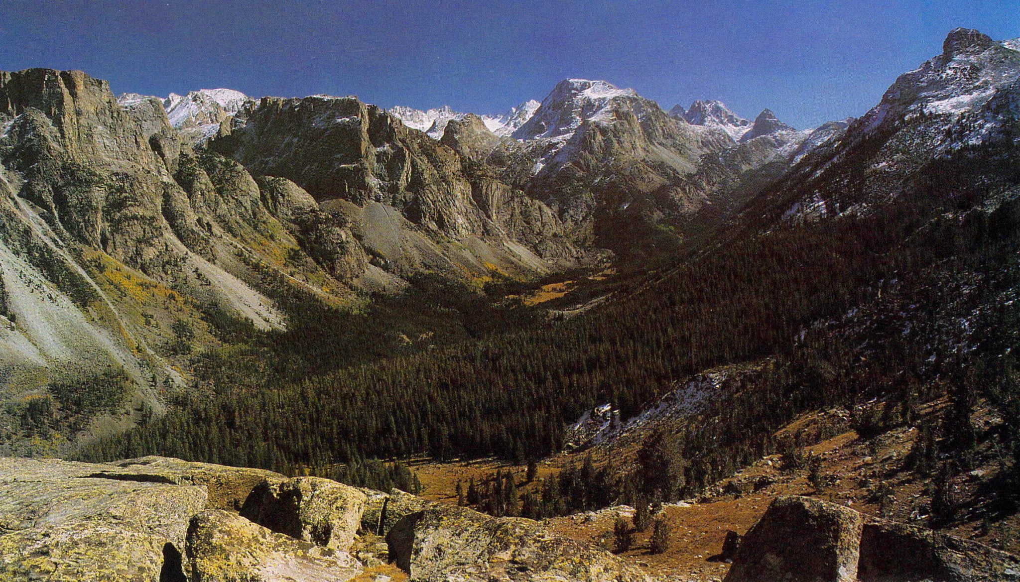
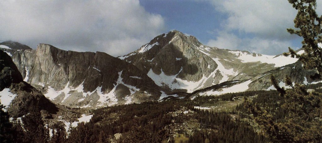
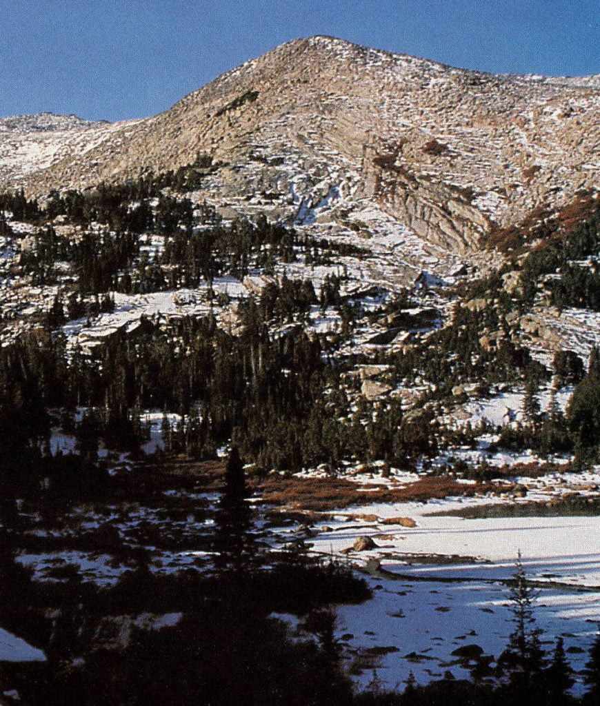
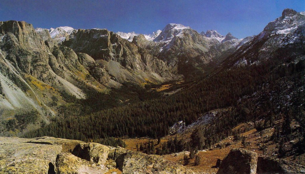
This mountain range is part of the Continental Divide and runs about 100 miles long and 20 miles wide. The range is not extremely tall, no peak is over 14,000 feet and there are less than half-a-dozen passes along its entire length that can be safely crossed with horses. The southern reaches of this range end abruptly to form the great South Pass used by Indian tribes for generations to cross the Divide. South Pass later became part of the Oregon Trail utilized by immigrant wagon trains.
The horizon of the Wind River Range ascends so jagged in places that the sharp rock seems able to split raindrops, sending one part to the Atlantic and the other to the Pacific. Ancient glaciers, among the highest peaks, continue to grind away the granite depositing silt into the creeks that begin at the base of these glaciers. Much of the mountain range has been decreed wilderness, preserving the land for generations to come. The primitive game trails have always been used by humans, as they mark the easiest routes to grassy meadows, water and wildlife. The migratory routes of big game in and out of the high country have varied little over the years.
The central portion of the range, along the eastern slope, is part of the Wind River Reservation. The well-known and widely respected leader of the Shoshone, Chief Washakie, has been honored by having a creek, lake, mountain peak, glacier, mountain pass and reservoir in the Wind River Range named after him. In 1873, the government fort known as Camp Brown, located at the base of the mountains, was re-christened Fort Washakie. Chief Washakie, his people and their descendants have always believed that the mountains are a remarkable place.
“The Wind River Mountains are supposed by the Indians to be the home of the spirits, and they believe a person can see the spirit of the land, or the land they will occupy after death, from the top of them.”
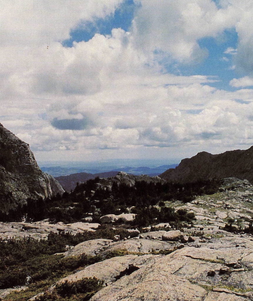
Standing in the heart of the Wind River Range one can experience the same emotions that were recorded over 100 years ago. A sensation can be felt as to how the Creator must behold His handiwork, for there is an aura of grandeur that envelopes a person as they view this range. From such a vantage point there is a sense of how small we, as humans, really are rather than being the ruler, we are many parts of an intricate universe.
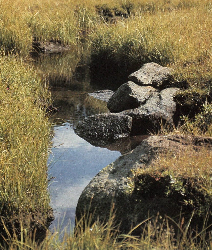
In the high country, spring, summer and fall all take place within a span of five months; the mountains are snow covered the remainder of the year. Timberline is approximately 10,500 feet and at a distance the region beyond the trees seems to be nothing but rock and ice, but that is not the case. Once these lofty places are entered, a splendid world of nature is found. Clean air, crystal-clear water, and fresh, white snow are a few of the things a person first encounters. The vegetation is abundant and flowers seem to spring from the cracks in the rocks, providing an endless assortment of beautiful bouquets. When fall arrives in the Wind Rivers, many colors of this mountainous landscape are quickly turned to various shades of red and gold before the snows of winter descend.
The ever-changing world of nature in the Wind River Range provides a place of great pleasure for human beings. One senses a humbling pride in being allowed to view such breathtaking beauty.
St. Stephens Indian Mission Foundation is a non-profit organization, incorporated under the laws of the State of Wyoming on March 31, 1974, and listed on page 184 of the 1993 OFFICIAL CATHOLIC DIRECTORY. The sole purpose of the foundation is “to extend financial support to St. Stephens Indian Mission and its various religious, charitable and educational programs and other services conducted primarily for the benefit of the Northern Arapaho and Eastern Shoshone Tribes on the Wind River Indian Reservation.”
